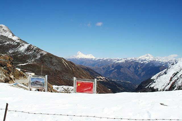
Prior to the year 1962 when it was closed, Nathula Pass served as a passage between the two countries India and Tibet. Situated on Indo-China border, the route is also referred to as Silk Route, as it served as an important route for silk traders of Sikkim and Tibet. Tibetans used the route to flee Tibet when China captured the country.
Nathula Pass is located 56 kms from Gangtok. It is located at a height of 14450 feet and it ranks amongst the highest motorable roads the world over. If you get nearer the international border, you can view Chinese soldiers guarding their side of the land. The pass is rich in flora and fauna. It is a paradise for trekkers as they get to explore the beauty of Himalayan ranges and its rich vegetation.
The way up to Nathula Pass is beautiful. The snow clad mountains and frozen lakes make the entire atmosphere magical. You will be awe inspired by the scenic beauty of the place, which Mother Nature has bestowed on the land.
The right time to start your climb high up would be by 8.00 am so that you can be at the top by 11.00 am to enjoy the glorious landscape under sunshine. You may want to start descending by 1.00 pm if you are keen to avoid changes in weather that may make your return journey quite tough. You need to obtain permission from Tourism and Civil Aviation department to visit Nathula Pass. It is open for view for Indians only. You can visit the place from Wednesday to Sunday.
Two famous pilgrim centers near Nathula Pass are Manasarovar Lake, which is referred to as the place that offers spiritual freedom and Lhasa, the Roof of the World. The former is visited by those who follow Hinduism while the latter is frequented by followers of Buddhism.


